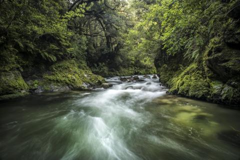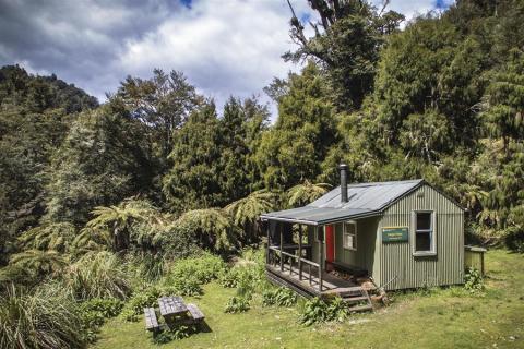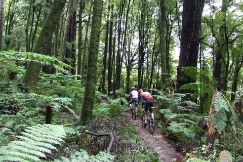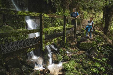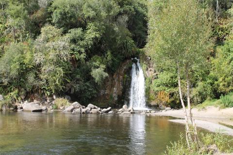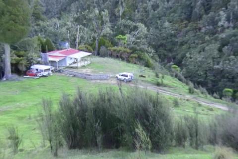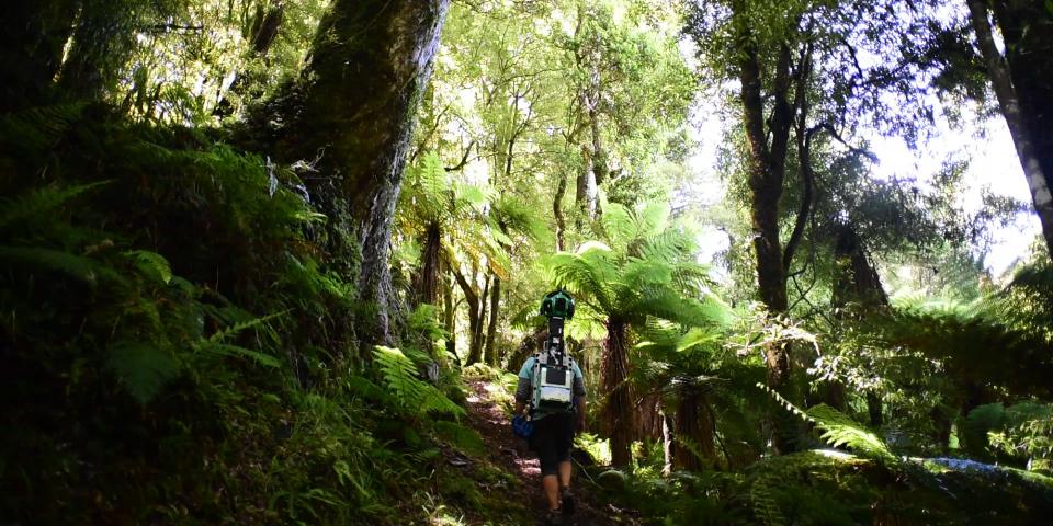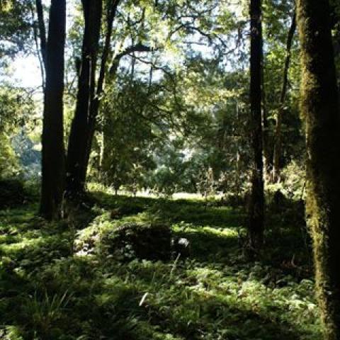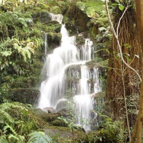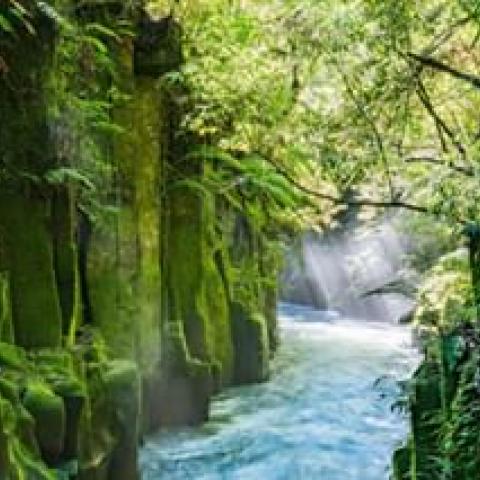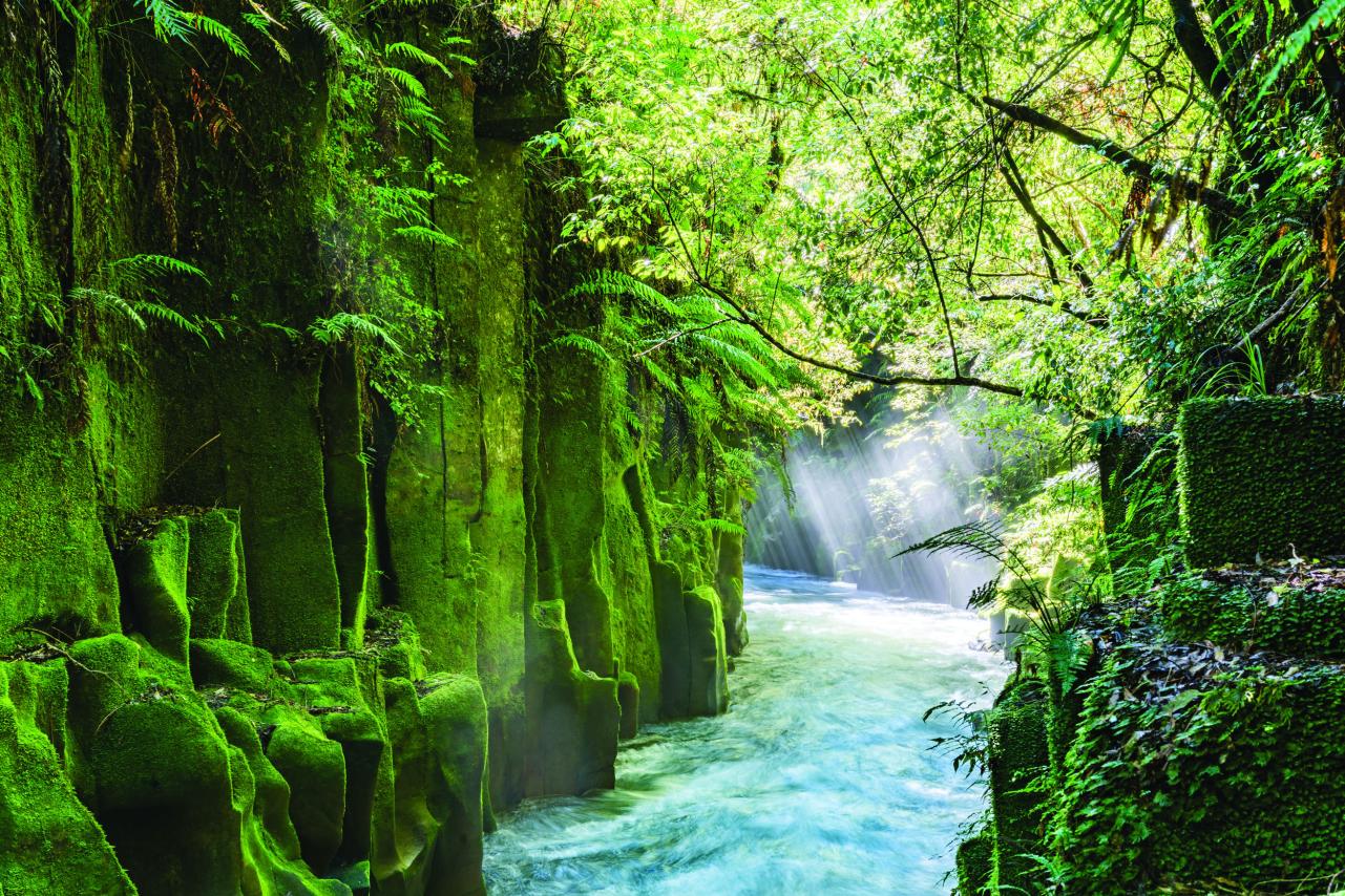
Towering trees, rushing rivers, diverse habitats and a fascinating history combine to create the Whirinaki Te Pua-a-Tāne Conservation Park. It's one of New Zealand's most remarkable and significant forests and a must-see biodiversity hotspot.
For a country that is so well-endowed with natural features, it’s difficult to find a forest of distinction. But one certainly exists. Whirinaki is one-of-a-kind in this land of such spectacular scenery. And it’s within easy driving distance of Whakatāne.
The park is valued as a taonga (treasure) containing the living children of Tāne Mahuta, the Māori god of the forest. Local iwi (tribe) Ngāti Whare is the active kaitiaki (guardian) of the park working with the Department of Conservation (DOC) to protect the natural, cultural, and historic resources for the benefit and well-being of future generations of Aotearoa and visitors.
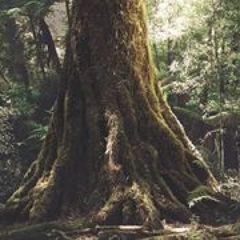
The park is valued for its mixed indigenous podocarp forests including tōtara, rimu, miro, matai and kahikatea, and the richness of its species.