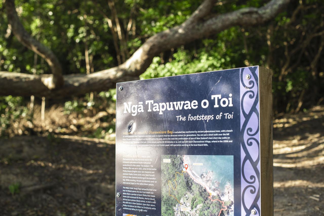
Ngā Tapuwae o Toi, or the 'Footprints of Toi', is a walking trail that captures the essence of the Whakatāne District. It includes pa sites of major historic significance, superb native forest, spectacular pohutukawa stands, unsurpassed coastal views, seabird colonies, forest birds in abundance, plantation forest and rural vistas.
The track includes three major scenic reserves - Kōhī Point Scenic Reserve, Ōhope Scenic Reserve and Mokorua Scenic Reserve. The walkway is accessible to most people, regardless of fitness level, because it can be undertaken in sections. Information boards placed in strategic locations tell much more of the district's natural and historic heritage.
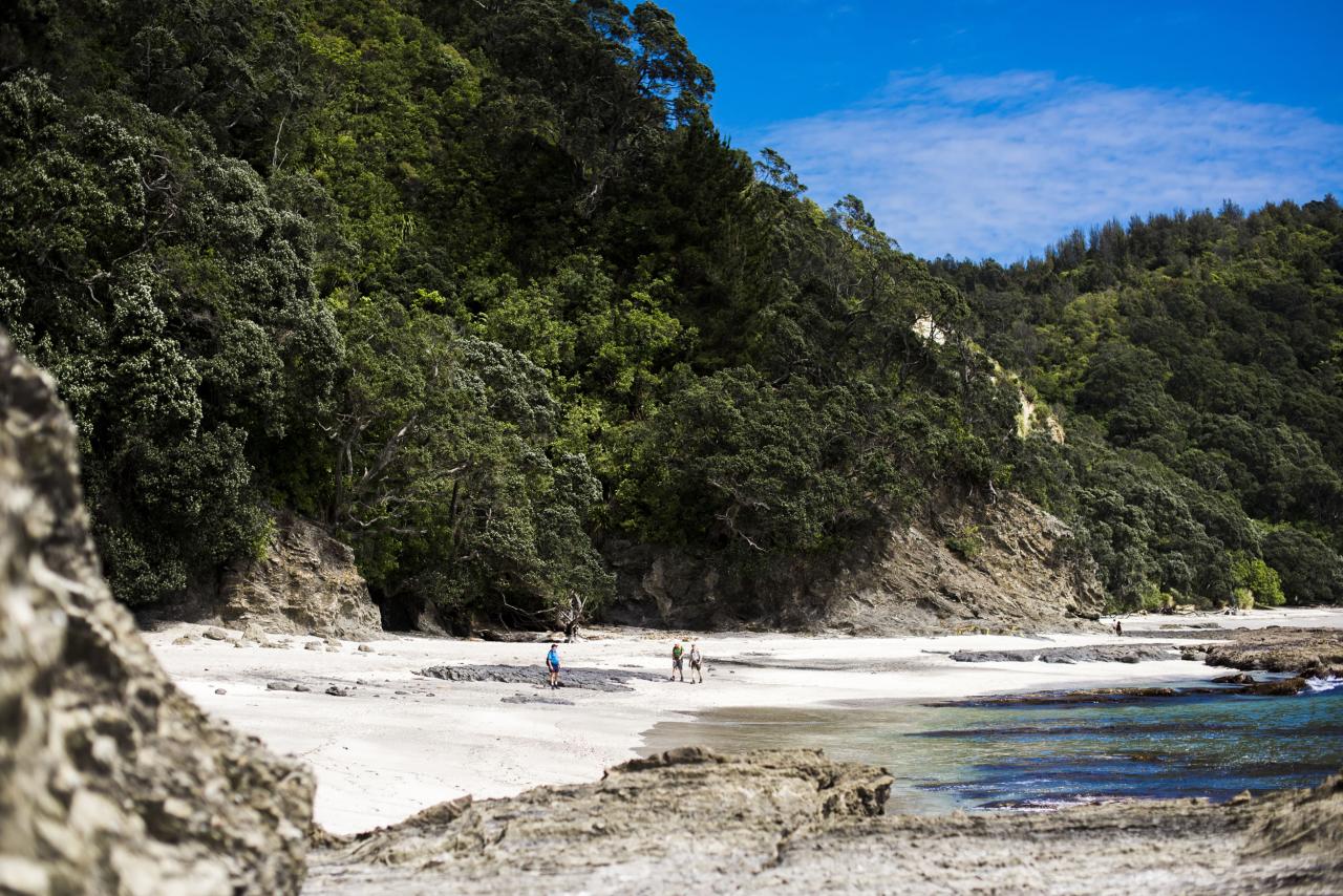
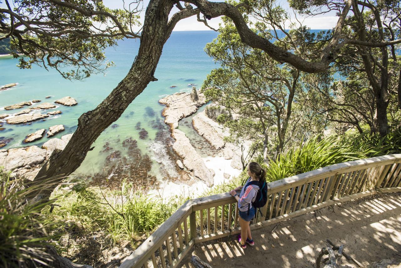
Embrace the incredibly scenic Kōhī Point walk and appreciate ancient pā sites, native bush and birdsong, stunning cliff-top views and the picturesque, secluded Ōtarawairere Beach. This track is a must for keen walkers.
Note that Ōtarawairere Beach is inaccessible on foot during high tide from the West. Please check with the Whakatāne Visitor Information Centre for the latest tide information. You can also access tide tables at MetService.
If you are walking to Ōhope and wish to return to Whakatāne by bus, the Beach Hopper Bus can pick you up at the Ōhope Beach Haven store. Phone the Whakatāne Visitor Information Centre for bus times or view the timetable on the Baybus website.
Whakatāne to Ōtarawairere Bay - 3.8km, 2.5 hrs
Time: 2.5 hour walk (each way) Grade: Hard
Note: Ōtarawairere can be inaccessible at high tide.
There is a toilet available at Ōtarawairere.
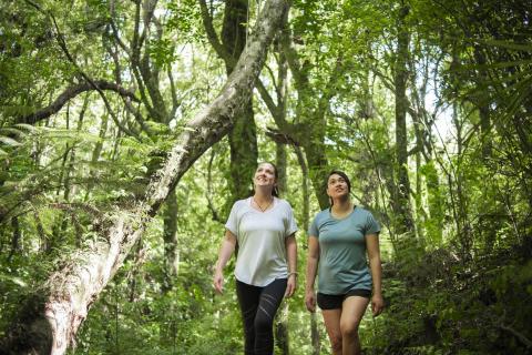
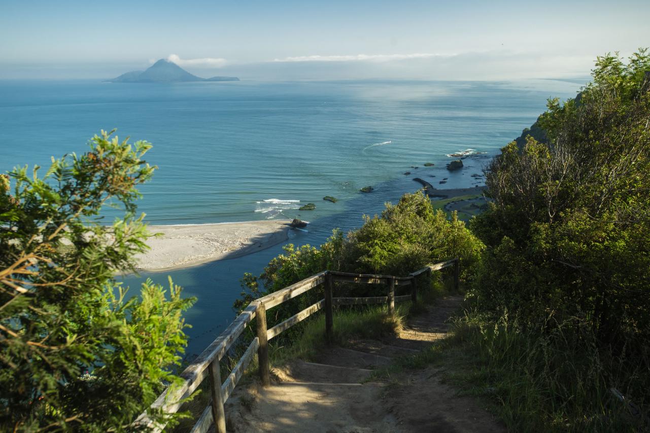
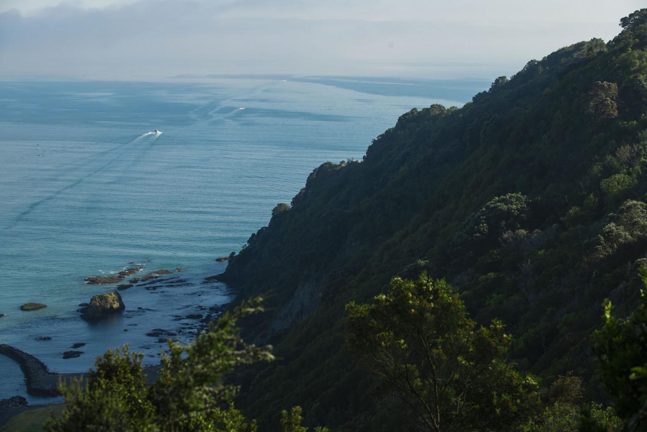
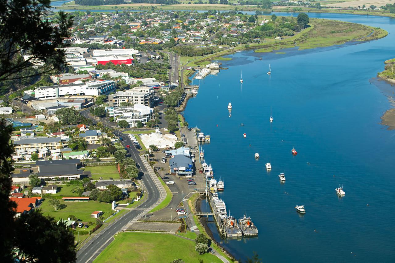
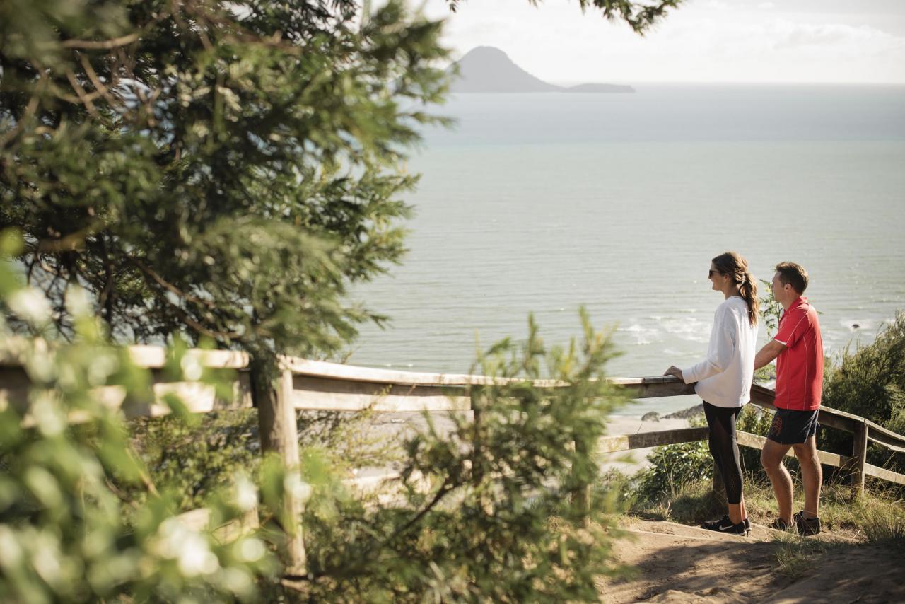
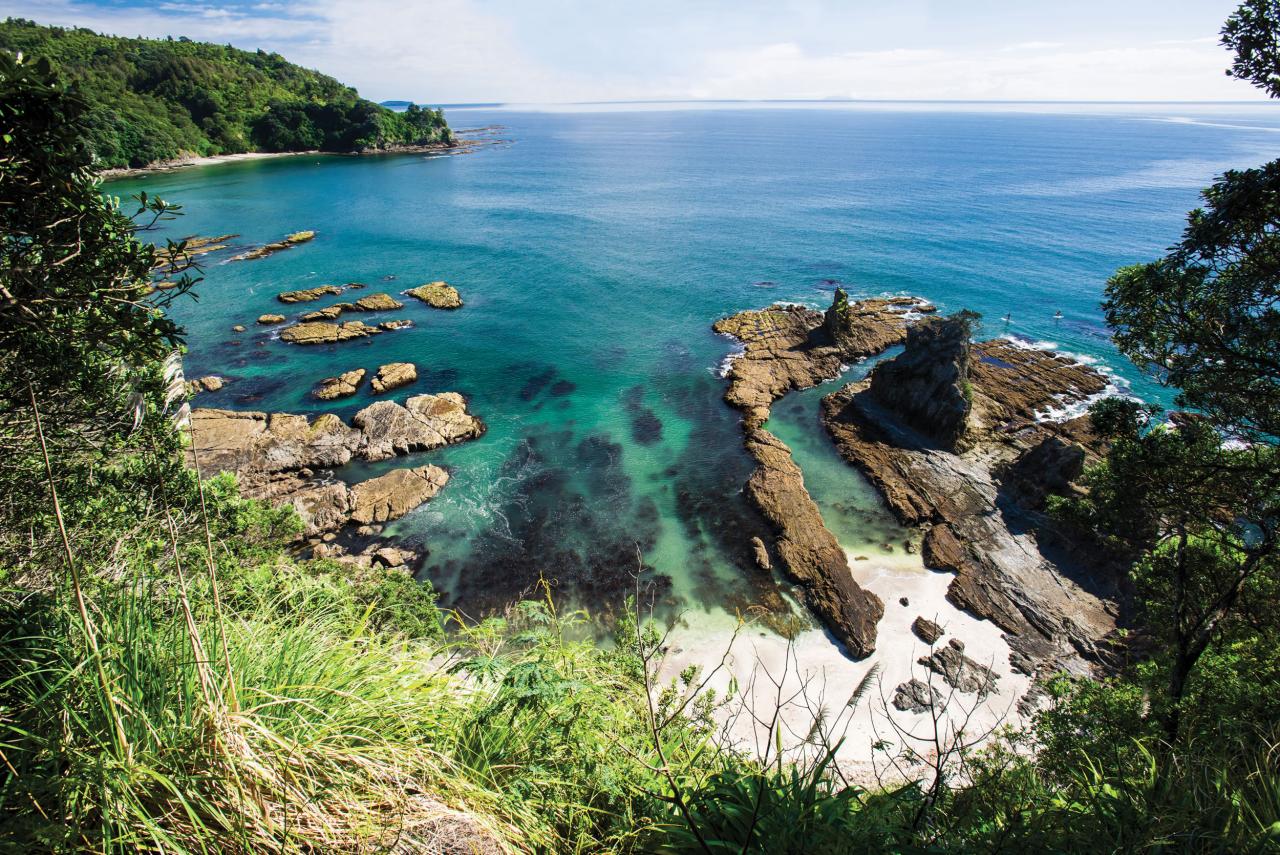
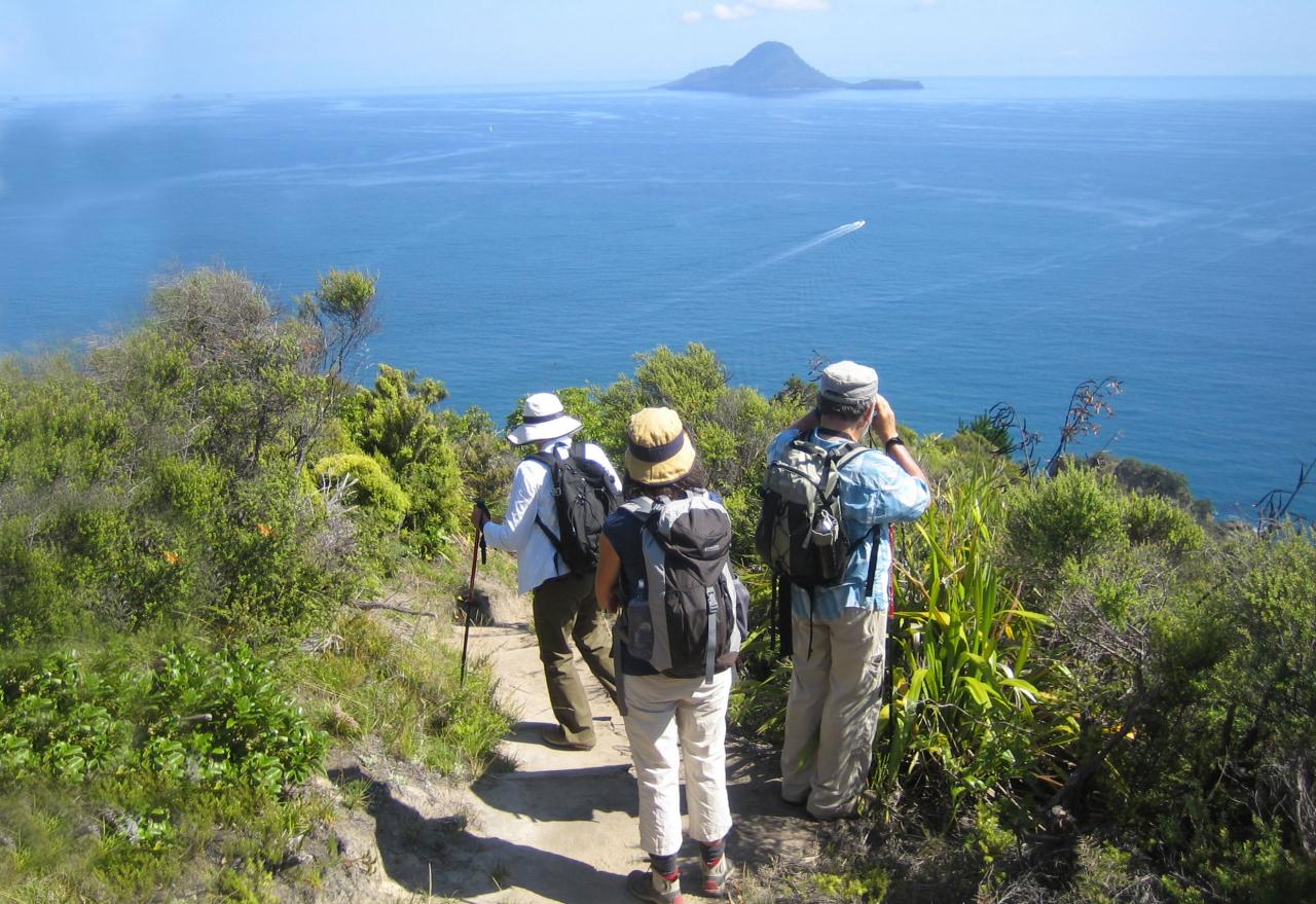
This scenic coastal walk between Whakatāne and Ōhope starts in the centre of town, in Canning Place. It starts with a quick climb up to the first of many stunning clifftop views. From here, the track winds its way along the coastline with a spectacular view out to Whakaari/White Island and extending to the East Cape.
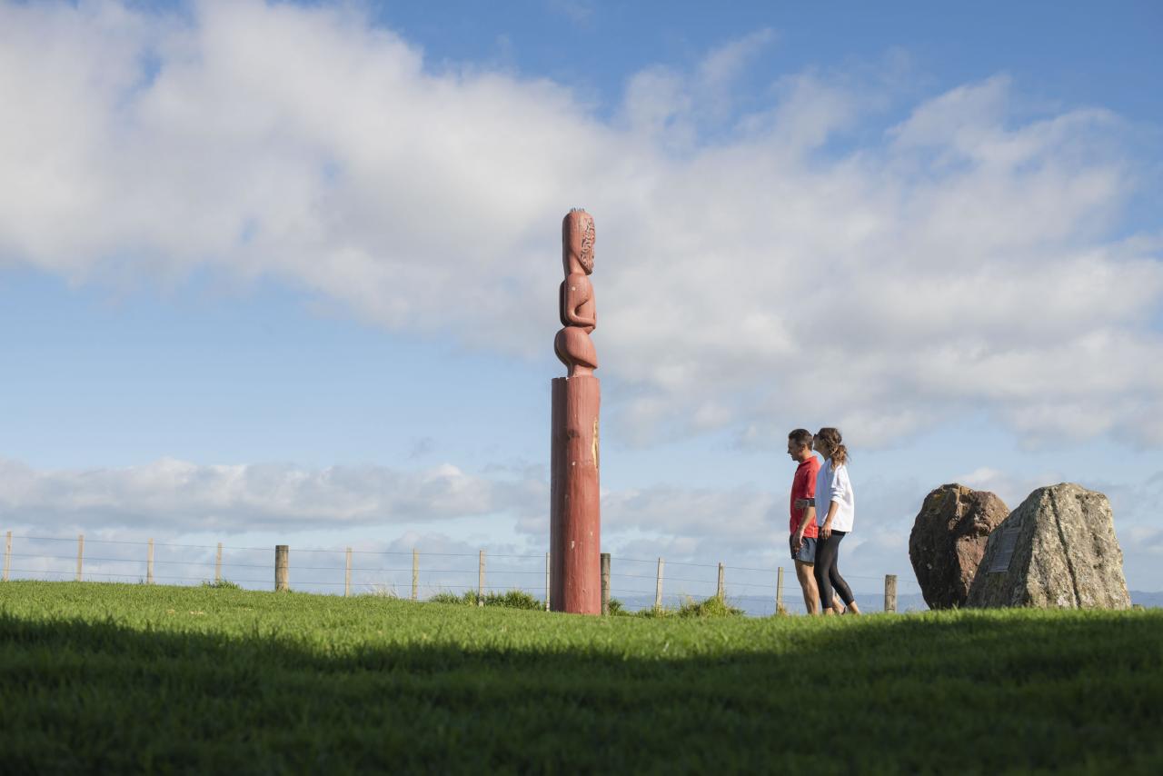
Take the short diversion to the Kapu-te-rangi pā site, and you won’t be disappointed. None of the pā itself remains, but it’s easy to see the strategic importance of the site.
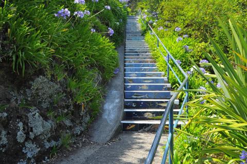
Park in town, or walk from your accommodation to the start point, head up to the stairs to Seaview Road.

Stop to take in the view and grab a memorable selfie or group shot while you're at it!
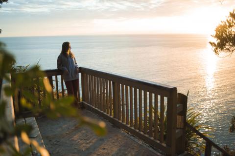
Take in the spectacular coastal views.
Ōtarawairere can be inaccessible at high tide. Check the tides before heading off.
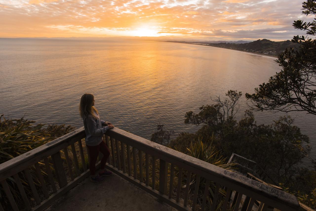
Stop for a break and take in the beauty of the East Coast and Ōhope Beach. From here it's a short walk down to Ōhope.
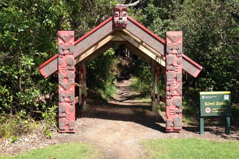
The Ōhope Scenic Reserve is home to over 300 kiwi. Guided kiwi night walks are available.
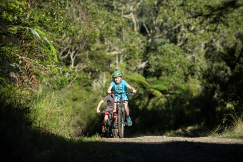
This section of the trail can also be walked as a short loop track, great at night or day. Find out more.
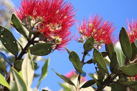
The Ōhope Scenic Reserve is home to the largest remaining pōhutukawa forest in New Zealand.
Ōtarawairere Bay to Ōhope Village - 3.1km, 30-40min
Time: 30-40 minute walk (each way) Grade: Medium
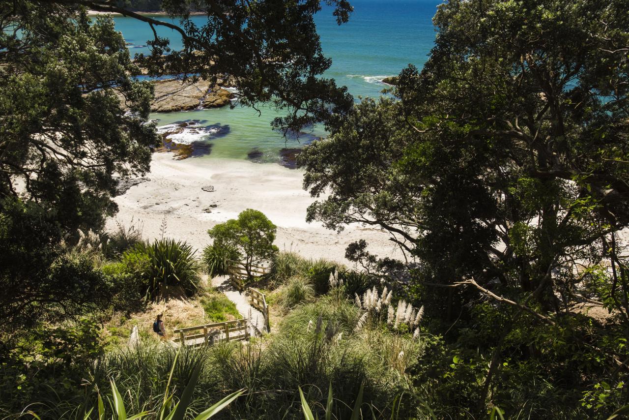
Ōtarawairere Bay is a secluded paradise cove, sheltered by stands of ancient Pōhutukawa – an ideal stopfor a picnic. The trail continues on to Ōhope with a steep climb, but the 200 steps are well maintained and the view from the top is stunning.
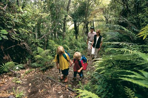
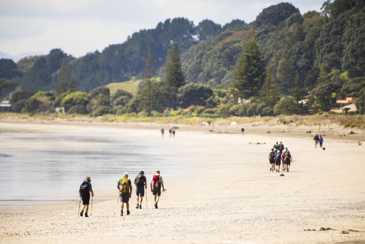
If you’re keen on a short walk from West End or you are with the kids, this one is perfect. Enjoy a stroll along NZ’s most loved beach to Ōhope Village.
The north end of Ōtarawairere can be inaccessible at high tide. There is a toilet available at Ōtarawairere.
Note: The track between West End and Ōtarawairere is currently closed due to a large slip. Ōtarawairere can be accessed from Ōtarawairere Village or from the Western section of the trail, beginning at Seaview Road. Contact the isite for the most up-to-date information.
Ōhope Village to Burma Road - 2.5km, 1.5hr
Time: 1.5 hour walk Grade: Hard
Ōhope Scenic Reserve includes one of the country’s largest remaining coastal pōhutukawa forests. This area is used by the Whakatāne Kiwi Trust to protect and build our wild kiwi population. With more than 300 kiwi calling it home, it is the reason for our title, ‘Kiwi Capital of the WorldTM’.
Fairbrother Loop Track - 2km, 1hr
Time: 1 hour Grade: Medium
The Fairbrother Loop is a great day or night walk.
It is home to wild kiwi and lush native forest punctuated with stunning views. At night you can spot glow worms along creek banks, discover giant wētā and hear the call of kiwi and ruru.
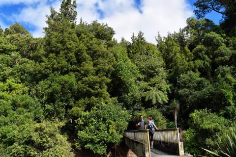
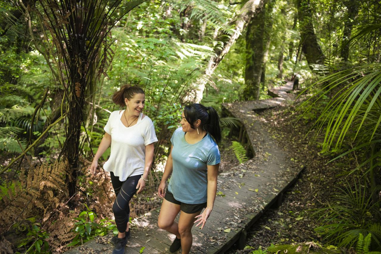
The Boardwalk and Wetlands - 2.6km, 1hr 15min
Time: 1 hour, 15 minutes Grade: Medium
A highlight of the Ngā Tapuwae o Toi trail is a sloping boardwalk through dense native forest, followed by a small section of wetlands within the Mokorua Bush Scenic Reserve.
Soon after the wetlands, cross a forestry road and farmland. Pay attention here, and follow the signage, to avoid taking a wrong turn.
The 'Birdwalk' - 2.8km, 45-55min
Time: 45 -55 minutes Grade: Hard
Parking at Gorge Road or White Horse Drive.
Most of this reserve was cleared for farming until 1920 but in 1969 it was declared a scenic reserve. It now has a high canopy of native trees and is aptly named ‘The Bird Walk’ as it is home to most of the common native bush birds. Keep an eye out for tūī, fantails and kereru.
If you’ve completed the full Ngā Tapuwae o Toi trail, to return to the town centre continue down Gorge Road and turn right onto Commerce Street (20 minutes).