Image

Tauwhare Pā
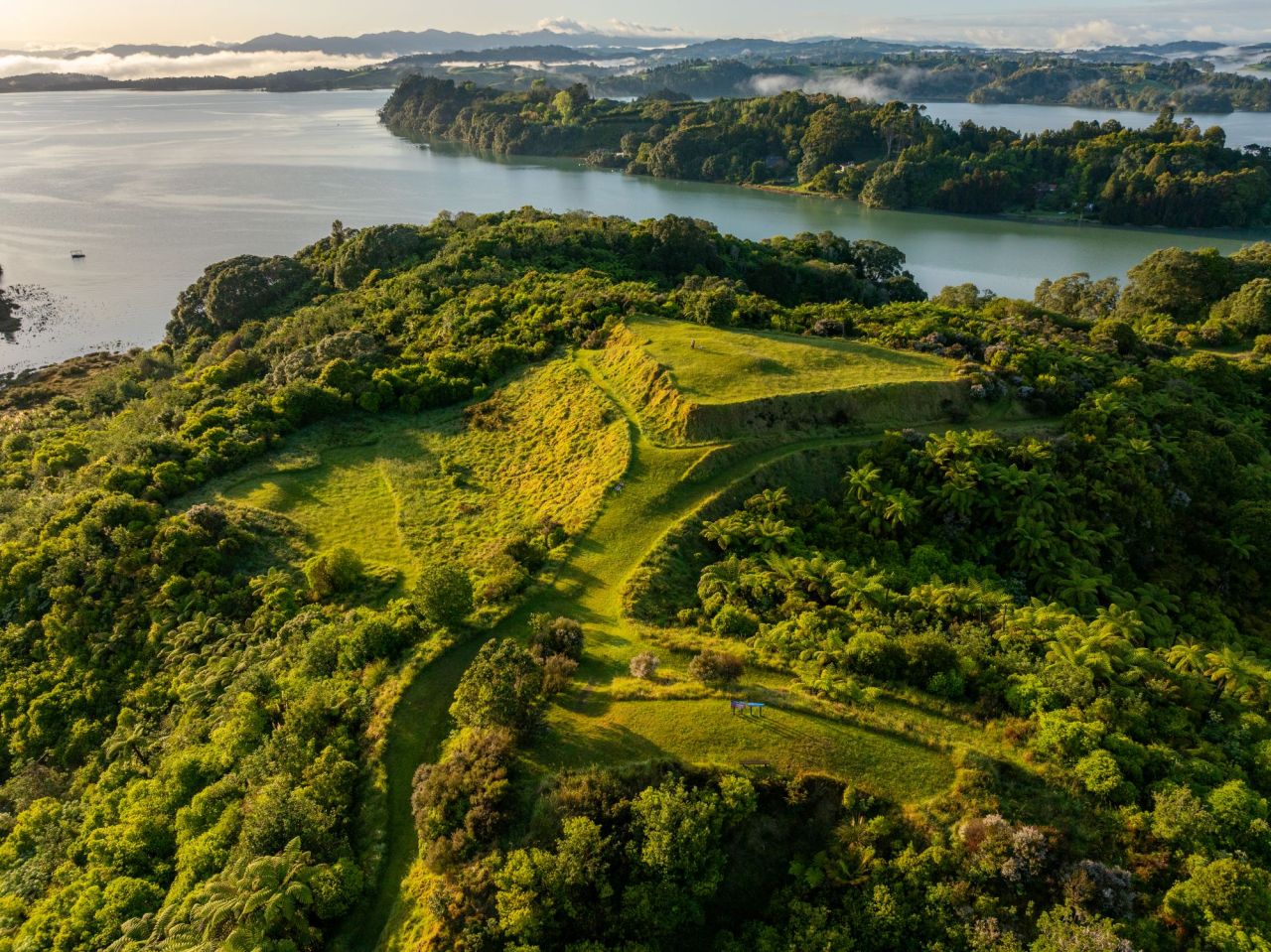
Tauwhare Pā was built several hundred years ago and overlooks the western arm of Ōhiwa Harbour. This strategic location lies between two tribal territories - Ngāti Awa in the west and Whakatōhea in the east.
Both iwi needed access to the harbour, and considerable mana was attached to the control of its resources. Not surprisingly, during its 200 or so years of occupation Tauwhare was fought over a number of times.
The walk around Tauwhare is an opportunity to learn something of the district's history and enjoy brilliant views over the harbour to Ohakana Island, Port Ōhope and the East Cape. Access to the walkway is approximately 300 metres on the left, past the start of Wainui Road, Ōhope.