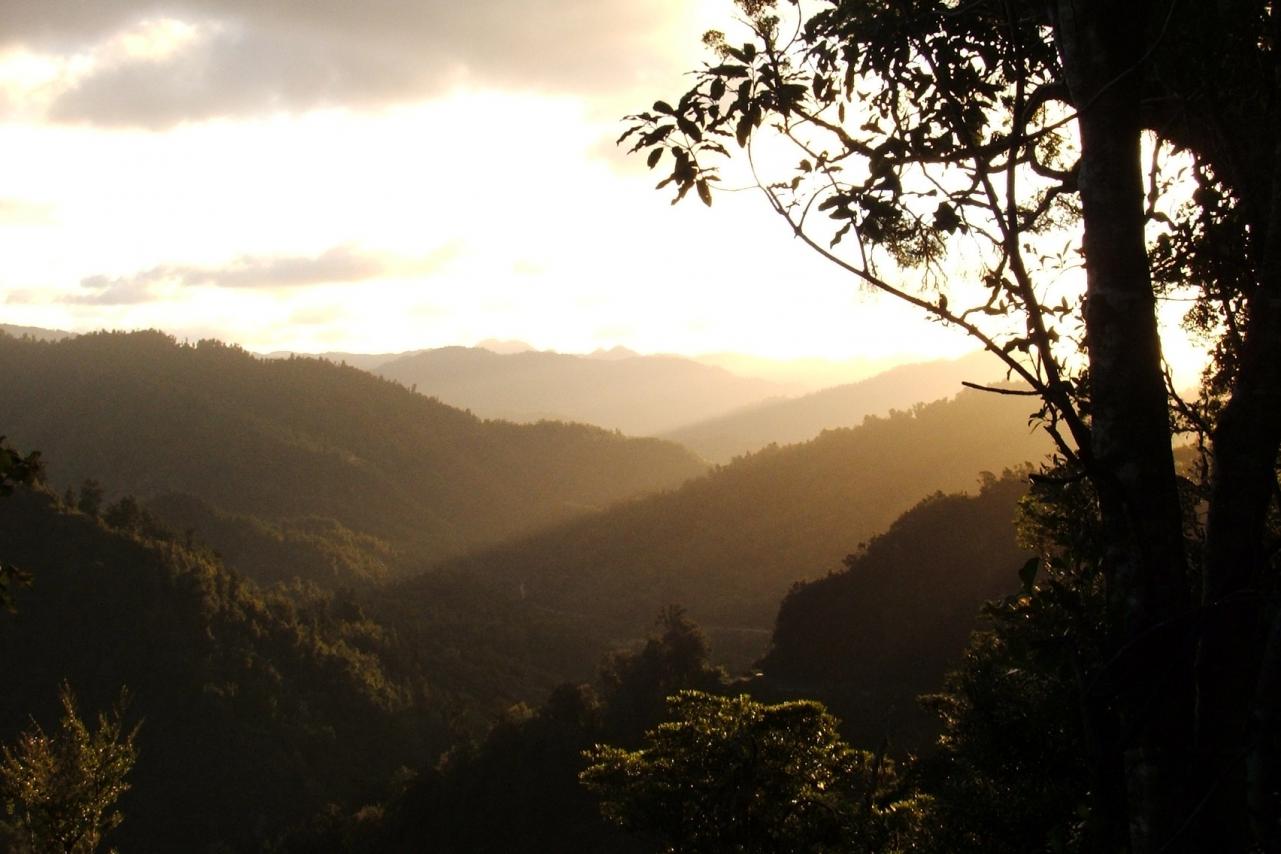
Remote, rugged and immense, Te Urewera is a historic hinterland of vast forests and pristine lakes that will quench the nature-lust of any outdoor enthusiast.
Te Urewera is especially unique as it was given its own legislative act as part of the Crown settlement with Ngāi Tūhoe in acknowledgement of the very real and dense connection and history between the people and the place. Te Urewera is now actually a legal entity, with all the rights, powers, duties and liabilities of a legal person.
Fishing, hunting, mountain biking, kayaking, hiking and much more are on offer in this breath-taking and untouched part of the world.
Places to stay, tour guides and things to do in Te Urewera
To the south of Whakatāne District is the Lake Waikaremoana Great Walk, which takes 3 - 4 days and is one of New Zealand's premier walking tracks.
This 212,672 hectare park lies between the Bay of Plenty and Hawkes Bay in the North Island. It is the largest of the North Island's parks and the fourth largest in New Zealand. The nearest towns are Whakatāne and Tāneatua to the north, Murupara and Ruatahuna to the west, and Wairoa to the east.
Experienced guides are available. Hiking maps, brochures, hut permits and safety information is available at the Whakatāne Visitor Information Centre, the Rangitāiki Area DOC Office, the Murupara Visitor Centre, or visit doc.govt.nz and ngaituhoe.iwi.nz/.
Points of interest and hunting areas map
A map containing points of interest and hunting areas located within Te Urewera is available online.