Image
Google Trekker at Lookout Point

Ngā Tapuwae o Toi walking track - Google Street View

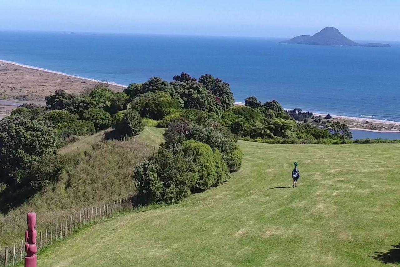
Ngā Tapuwae o Toi, or the "Footprints of Toi", also known as Toi's Track, is a walkway which captures the essence of the Whakatāne District. It includes pa sites of major historic significance, superb native forest, spectacular pohutukawa stands, unsurpassed coastal views, seabird colonies, forest birds in abundance, plantation forest and rural vistas.

The Google Street View tour of Toi's Track below starts at Kōhī Point, site of one of the most spectacular vistas in New Zealand. Take a virtual tour through Ōtarawairere Beach, Ōhope Beach's West End, and the native forests of the Bird Walk between Ōhope and Whakatāne.


Street View Highlights:

Take virtual tours via Google Street View of some of the Whakatāne District's most popular and spectacular destinations.

The walk around Tauwhare is an opportunity to learn something of the district’s history and enjoy brilliant views over the harbour to Ohakana Island, Port Ōhope and the East Cape.

Ōhiwa Harbour, the southern half of Ōhope, offers plenty of opportunities for sightseeing, walks, fishing, kayaking, and more — especially at the Ōhope Wharf.

A short walk through native bush alongside the crystal clear waters of the Tarawera River leads you to the spectacular Tarawera Falls.

Bordered by the Whakatāne River on one side and bush-clad cliffs on the other, Whakatāne's commercial centre must have one of the most scenic settings any town could wish for.