Image
Tarawera Falls and Trekker

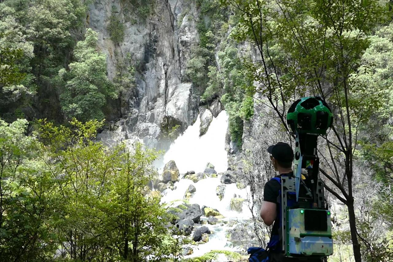
Tarawera Falls - Google Street View

A short walk through native bush alongside the crystal clear waters of the Tarawera River leads you to the spectacular Tarawera Falls. The falls are 35 metres high and pour out halfway up a cliff face formed by a lava flow from Mt Tarawera 11,000 years ago.

Explore the area further with Google Street View, and you’ll find giant boulders, bridges, and the beautiful Cascade Falls.


Streetview highlights

Check out more...

Bordered by the Whakatāne River on one side and bush-clad cliffs on the other, Whakatāne's commercial centre must have one of the most scenic settings any town could wish for.

Take virtual tours via Google Street View of some of the Whakatāne District's most popular and spectacular destinations.

Ōhiwa Harbour, the southern half of Ōhope, offers plenty of opportunities for sightseeing, walks, fishing, kayaking, and more — especially at the Ōhope Wharf.

The walk around Tauwhare is an opportunity to learn something of the district’s history and enjoy brilliant views over the harbour to Ohakana Island, Port Ōhope and the East Cape.